Camino Inglés
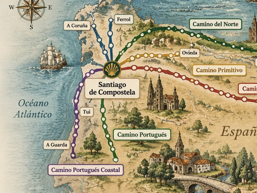
Ferrol or A Coruña → Santiago de Compostela
A shorter Camino through Galicia, with historic towns, estuaries and two traditional starting points.
- Ferrol route
- ≈112.5 km
- A Coruña route
- ≈72.9 km
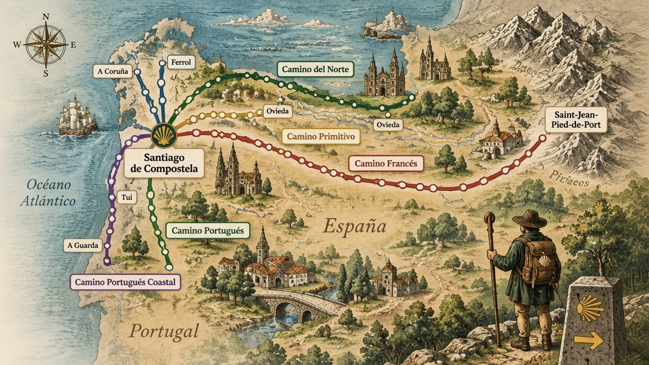
Explore six routes to Santiago de Compostela, discover places along the Camino Francés, and follow source-certified stages on the Camino Inglés. Distances are mapped-route figures, not walking days.
Choose your way
Different routes cross Spain and beyond on their way to Santiago de Compostela. CaminoFinder currently maps six of them.
Ferrol or A Coruña → Santiago de Compostela
A shorter Camino through Galicia, with historic towns, estuaries and two traditional starting points.
Saint-Jean-Pied-de-Port → Santiago de Compostela
Cross the Pyrenees and northern Spain on the long journey west toward Santiago.
Tui → Santiago de Compostela
Follow the Camino Portugués north from Tui through Galicia toward Santiago.
A Pasaxe (A Guarda) → Santiago de Compostela
Follow the Galician coast north from A Pasaxe, in the municipality of A Guarda, before joining the Camino Portugués near Redondela.
Oviedo → Santiago de Compostela
A mountain route from Oviedo across northern Spain toward Santiago.
Irun → Santiago de Compostela
A long route across northern Spain, following the Cantabrian coast before turning inland toward Santiago.
Route geometry: FEAACS (creator) · O.A. CNIG (distributor) · CC-BY 4.0. Geographic context: Obra derivada de CartoBase ANE 2006-2026 CC-BY 4.0 ign.es.
Historic routes, remarkable places, and mapped facts you can trust — so you can walk the Camino your way.
Featured guide
Follow the Camino Inglés from Ferrol or A Coruña to Santiago de Compostela. The two routes come together at Hospital de Bruma before continuing toward Santiago.
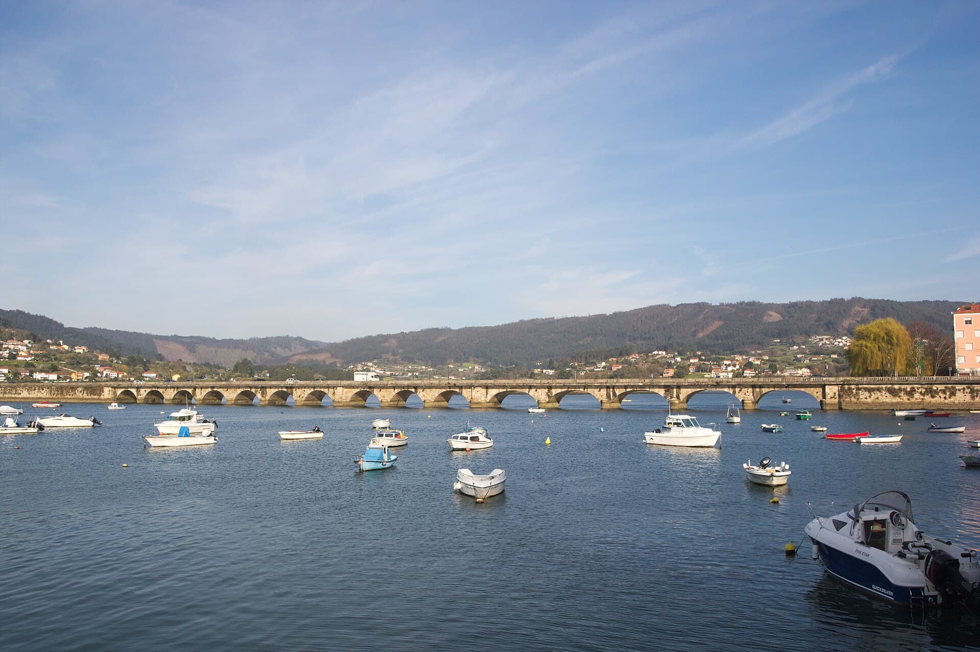
The stone bridge over the Eume at Pontedeume.
Xosema · CC BY-SA 4.0 · Wikimedia Commons · Cropped for layout.
112.5 km · 6 stages
2,580 m ascent
Ferrol
Ferrol → Neda · 15.5 kmPontedeume
Pontedeume → Betanzos · 19.8 kmHospital de Bruma
Hospital de Bruma → Sigüeiro · 24.2 kmSantiago de Compostela
72.9 km · 4 stages
1,550 m ascent
A Coruña
A Coruña → Sergude · 20.0 kmHospital de Bruma
Hospital de Bruma → Sigüeiro · 24.2 kmSantiago de Compostela
The Camino Inglés map names its source. FEAACS created the walking traces; CNIG distributes them. Attribution stays in view.
We do not invent route facts, elevation, stages, or shortcuts. Distances shown by CaminoFinder are measured from certified source geometry.
