Camino Inglés
Sigüeiro-Santiago de Compostela
Shared source stage after the Ferrol and A Coruña approaches meet at Hospital de Bruma.
- Start
- Sigüeiro
- End
- Santiago de Compostela
Distance
16.1 km
About this route
Route and stage information is based on official and authoritative geographic sources.
- Ascent
- 340 m
- Descent
- 310 m
- Highest point
- 350 m
- Lowest point
- 221 m
- Est. walking
- 4–5 hrWalking time, breaks not included.
About elevation
Elevation figures are approximate.
Loading map
Elevation profile
In Santiago
This source stage ends in Santiago de Compostela. The place guide covers arrival, the Pilgrim Office and the Compostela. Onward travel is on the leaving page.
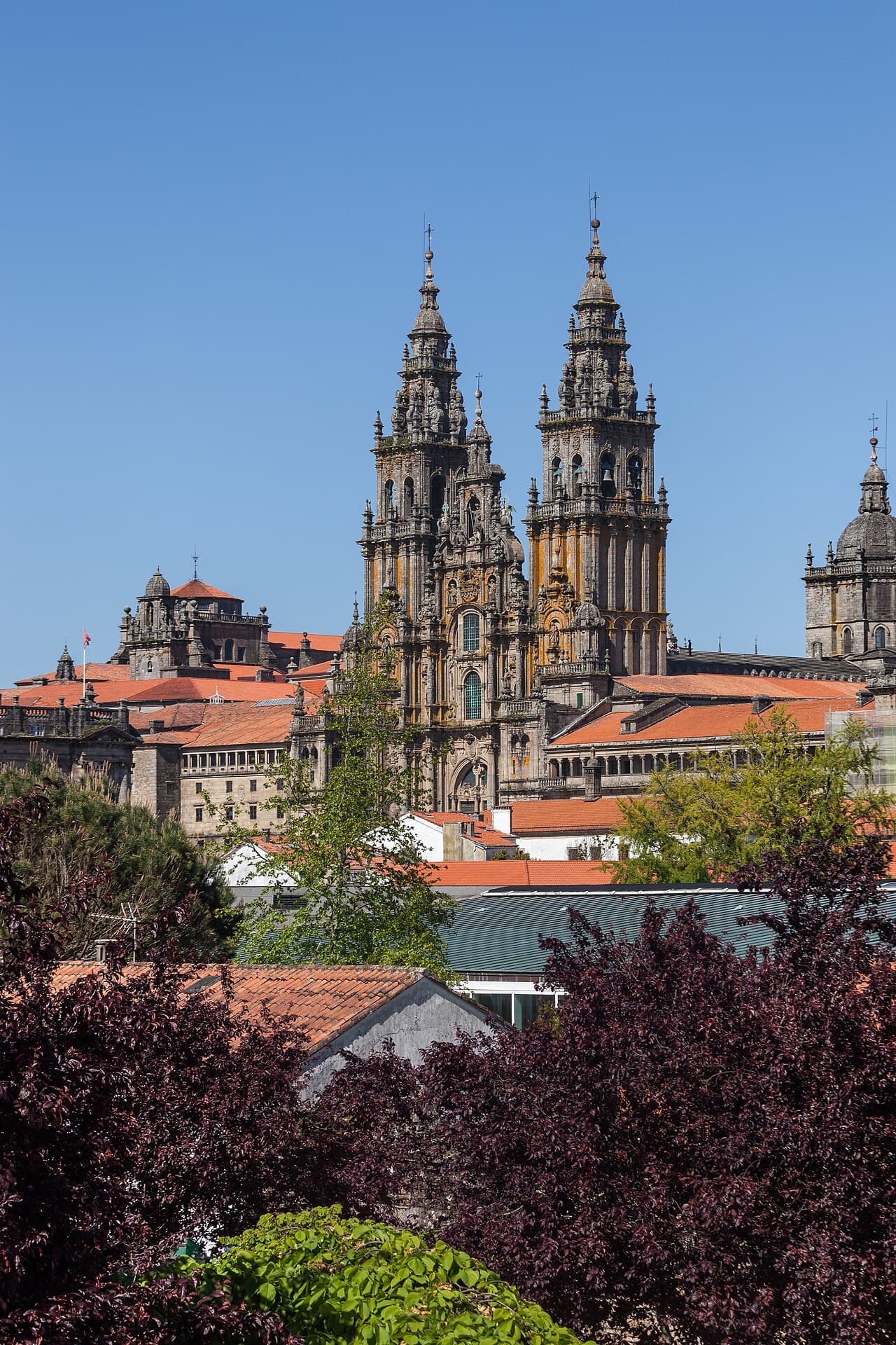
The cathedral from the Alameda, at the end of the walk.
Luis Miguel Bugallo Sánchez · CC BY-SA 3.0 · Wikimedia Commons · Cropped for layout.
